 |
| Ribbon Creek Winter Trail (up above the actual creek) |
Ribbon Creek, Summer and Winter
The Ribbon Creek Summer Trail follows the creek for 8.1 km until it reaches Ribbon Falls and the Ribbon Creek backcountry campground. In the winter however, the same trail is only open for 3.7 km (avalanche terrain beyond this point) and is technically a snowshoe trail. (see the Ribbon Creek Snowshoe Trail here.)
The official winter snowshoe trail follows the same summer trail beside the creek, but when the creek is well frozen you can also hike (or ski) down the creek (even under some of the bridges.)
 |
| Skiing down Ribbon Creek on the Snowshoe Trail |
There is also a separate cross-country ski trail, The Ribbon Creek Winter Trail, that travels high up above the creek and then meets up with the snowshoe trail 0.9 km before the end of the trail.
Follow this link to see a cross-country ski trail map of this area.
The Snowshoe map of Kananaskis is here.
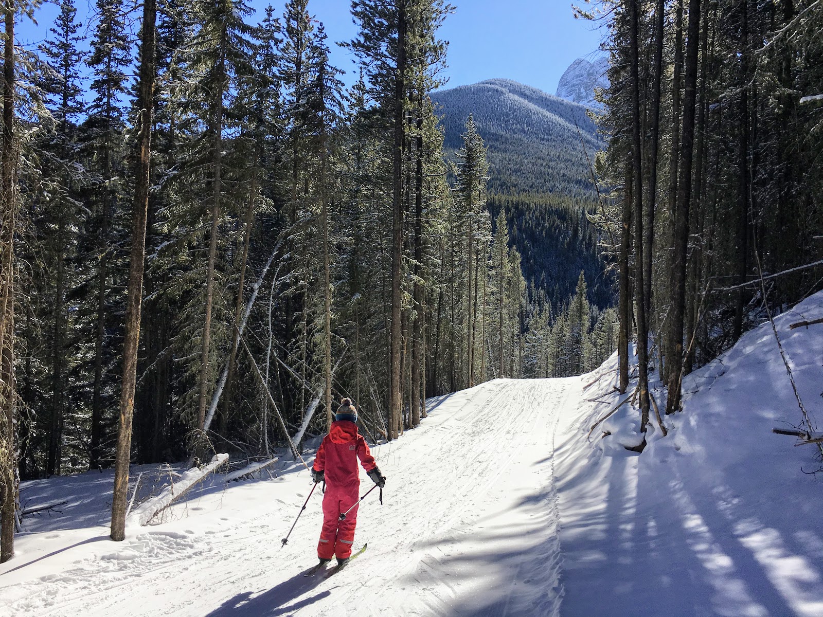
 |
| Skiing down the Ribbon Creek Winter Trail |
Our Favourite Ski Loop of Ribbon Creek (following the winter + snowshoe trail)
My son and I came up with an awesome 4.9 km ski loop last winter that we've repeated again this winter.
Starting out on the Ribbon Creek Winter Trail
From the Ribbon Creek Day Use Area, follow the Hidden Trail for 300 metres until you reach the junction for the Coal Mine Trail. (This is above the creek so do not follow the summer trail. You want to be on the official groomed ski trails.)
Turn left on the Coal Mine Trail, and then climb up to meet the Ribbon Creek Winter Trail in 0.6 km. If you want to take a detour on the Coal Mine Trail, it's a 2.6 km climb to a beautiful viewpoint, and then an amazing descent back down. It took me about an hour to climb up and ten minutes to ski down.
 |
| Coal Mine Viewpoint at the end of the trail |
Get on the official Ribbon Creek Trail and continue climbing for a short distance to a pretty viewpoint over the valley. The entire trail is 1.2 km until the next junction with the Ribbon Creek Snowshoe Trail down at creek level.
 |
| Viewpoint on the Ribbon Creek Winter Trail |
The descent down to Ribbon Creek is an exciting one with sharp corners, hairpin turns, and steep bends. Make sure you have confident skiers with you for this one (or take your skis off if it's icy.) This is a good one for powder days as well if you don't want to take the hill with too much speed.
Meet up with the Ribbon Creek Snowshoe Trail 0.9 km before the Link Trail Junction (another ski trail.) The snowshoe trail ends at the Link junction. Most skiers will return to the parking lot on the Link Trail and the Kovach Trail.
 |
| Screaming down the Ribbon Creek Trail |
Again, see the official cross-country ski trail map here. You can pick up a copy from any Kananaskis Visitor Centre (there's one at Barrier Lake just before the Village,) and there are also maps everywhere along the trails (so you can't really get lost.)
 |
| The Ribbon Creek Winter Trail is an official groomed ski trail |
Finishing the Loop on the Ribbon Creek Snowshoe Trail
I said above that "most" skiers would finish their loop by heading further up the creek and returning on the Link and Kovach SKI trails. Well, we are not "most" skiers.
We actually prefer returning on the snowshoe trail (and in ideal conditions like skiing down the creek under some of the bridges.)
 |
| Skiing down the Ribbon Creek Snowshoe Trail |
Little needs to be said about this one other than that you should just follow the snowshoe tracks or the summer hiking trail back down to the parking lot in a 2.8 km distance.
 |
| Following the creek back to the Ribbon Creek Day Use Area |
If in doubt as to the safety of skiing down the creek, follow the trail just above the creek. It is wide enough for skiing, has a gentle descent (but is relatively flat,) and crosses numerous bridges (fun to ski across.)
 |
| Skiing underneath one of the bridges on the Ribbon Creek Snowshoe Trail (official trail uses the bridge) |
And if the conditions are right, you'll be able to ski down the stairs off the one bridge. (Otherwise, remove your skis and walk down.)
Total Loop Distance: 4.9 km
 |
| If in doubt, follow the official snowshoe trail rather than skiing down the creek |
Recommended Reading for Other Fun Activities in the Kananaskis Village Area
5 Reasons Love Visiting Troll Falls in Winter
Ten Reasons to Spend Time at Kananaskis Village this Winter
Fat Biking with Kids at Kananaskis Village
5 Reasons to Make Nakiska your Local Ski Hill this Winter
Affordable Family Ski Vacations in the Canadian Rockies (Staying at the HI Kananaskis Hostel)
Family Cross Country Ski Trips - Our Favourite Destinations Near Calgary
 |
| Skiing down the Ribbon Creek Snowshoe Trail |
No comments:
Post a Comment