Kimberley has become a new destination fav. for us, so much so that we've started spending many of our summer long weekends here. There's great camping, a wide variety of trails for hiking + biking, and you can easily get a lakeside picnic site on a summer weekend.
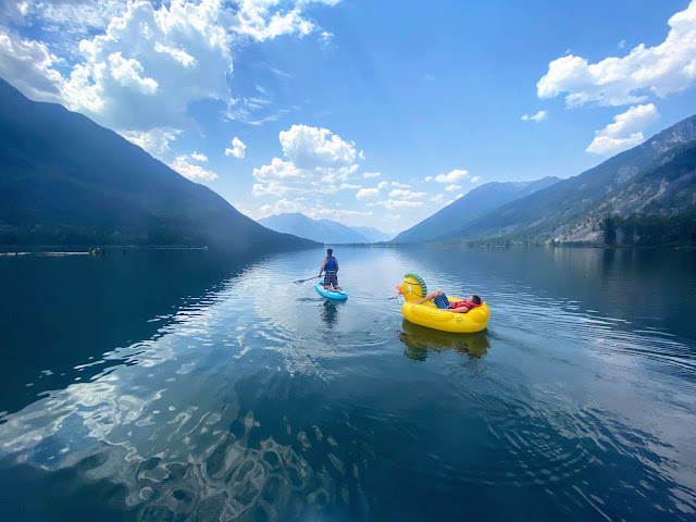 |
| Family Adventure Bucket List for Kimberley, BC (photo: St. Mary's Lake) |
I've had many requests for this guide, so here you go friends. Enjoy! This guide will be updated annually as well so keep it handy.
This guide has been updated for 2026 with new activities, trails, and suggestions.
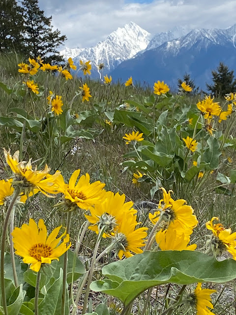 |
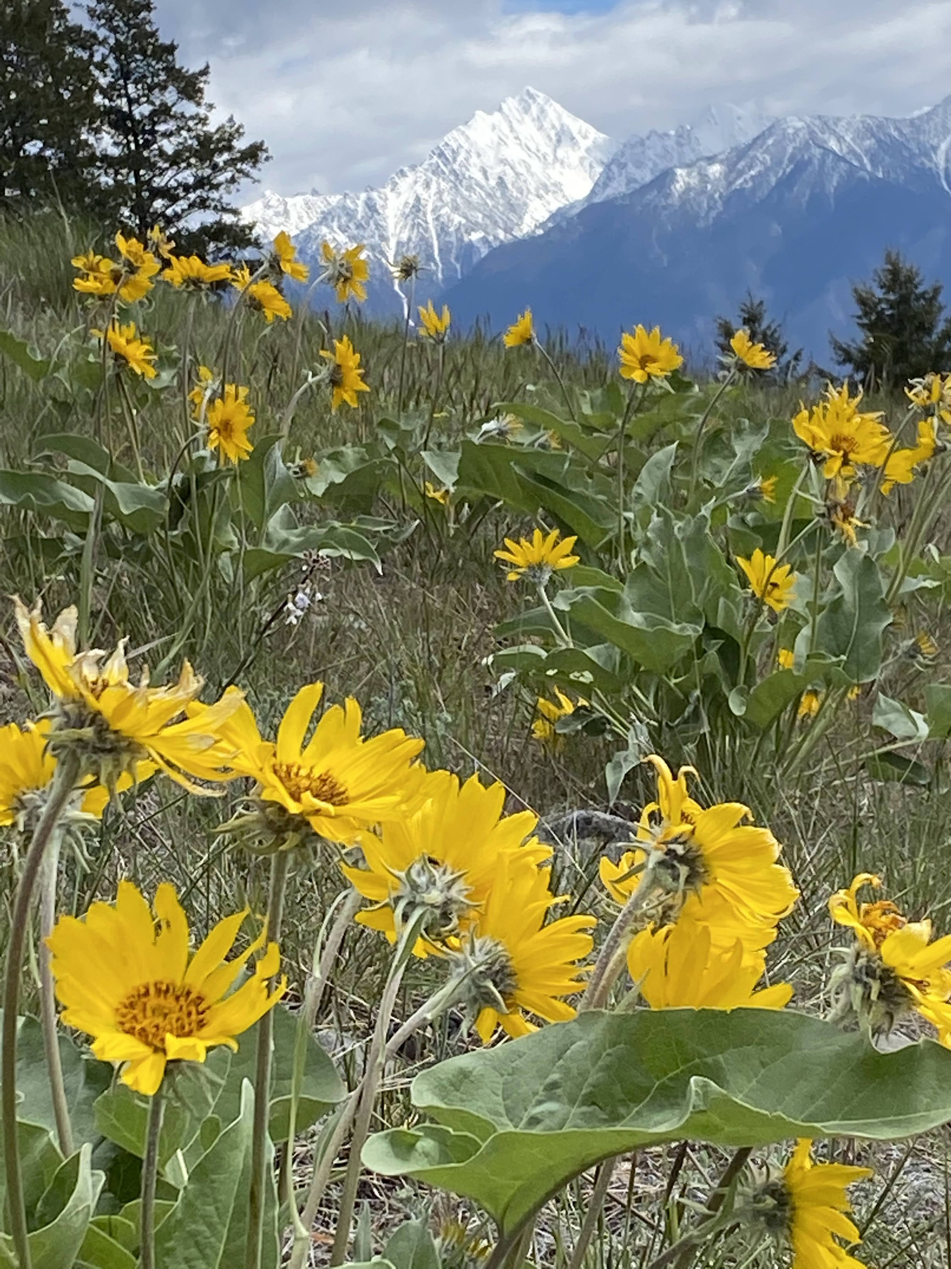
| Spring is a beautiful time to visit Kimberley for the wild sunflowers |
Table of Contents
1. Destination Introduction to Kimberley
2. Where to Camp in Kimberley
3. Hiking around Kimberley and Cranbrook
4. Biking around Kimberley and Cranbrook
5. Lake Fun and Paddling around Kimberley
6. Dining, Coffee Shops, and Restaurants in Kimberley
 |
| Biking in nearby Cranbrook (Pod Racer Trail) |
Destination Introduction to Kimberley, BC
Kimberley is a very small city located in the East Kootenay Rockies of British Columbia, south of Radium Hot Springs and Invermere. And while technically Kimberley is a city, I would say "small mountain town" is more accurate when you compare it to large centres like Calgary or Vancouver.
From the community of Invermere, Kimberley is approximately an hour and a half to the south and we often day trip to Kimberley if we're staying in Fairmont Hot Springs for a weekend (because the biking in Kimberley is that good!)
From Calgary it takes about 4.5 hours to reach Kimberley, but it's an easy drive for a long weekend. We usually stop in Radium Hot Springs or Invermere to break up the drive, go to the hot springs, or go for a short walk, and still arrive in Kimberley by late afternoon to set up camp.
We've found that driving to Kimberley is perfectly doable after work Friday as well from Calgary, but you'll enjoy your trip much more if you stay for at least three nights.
 |
| Kimberley is an incredible adventure destination! (Photo: SW Passage, Kimberley Nature Park) |
Where to Camp in Kimberley
We've found an amazing gem of a private campground, the Kimberley Riverside Campground, located just outside town. This post isn't sponsored, and we've paid for every trip at the Riverside Campground, so stay where you want - but we've always been impressed with this business and do love camping here. ❤️
Highlights of camping here include:
- Huge wilderness style campsites! Nobody is parking their RV in a paved parking lot, the sites are surrounded by trees, and most sites have good privacy. This isn't your traditional "private campground" where the resort has paved a large field and painted lines on the pavement for each trailer.
- You can set up a trailer or tent on most sites. There are no "trailer only" sites so you can camp side by side with friends who may be camping differently than you (a challenge we always face because we want a full hook up site for our trailer, but still want to camp near our friends who sleep in a tent.)
- Most sites are full service (power, water, sewer) - and as mentioned above, you can put a tent on these sites which is great news for those who need access to power while tenting (even if just to charge devices) or want to fill up water jugs right at their site.
- It’s a private campground that takes reservations a full year in advance for zero stress bookings! Their online booking system is easy to use and there's never a queue to wait in. I do recommend booking early though for long weekends and peak summer camping. We usually book a year in advance. (Just check the cancelation policy if you aren't 100% sure about committing that far out.)
- All sites have fire pits (something that is shockingly rare at many private campgrounds.)
- There’s a heated swimming pool, mini golf course ($,) hiking trails all around camp, and you’re on the St. Mary River for fishing.
- They have glamping tents and RV rentals. They also have seasonal sites if you fall in love with the place. 😊
- St Mary's Lake is just up the road for serene paddling, the Kimberley Nature Park is across the road for endless biking and hiking, Bootleg Mountain is close by for downhill mountain biking, and there’s a golf course just down the road.
- You can rent e-bikes, kayaks, or SUPs from camp.
- The campground is always quiet. We camp here over long weekends, and we never have to put up with loud neighbors, parties, obnoxious music, etc. It's a fabulous family campground. - So if you want to have a party at your campsite, please choose a different campground!!
And if you have kids that love riding their bikes around camp, make sure you book at the bottom of the campground in the Pine Meadows area. This large area is flat, with a big paved loop, and constantly full of kids riding their bikes around (including tots on balance bikes.)
Personally we find the Pine Meadows sites to be the largest as well with the most privacy (especially if you book the sites above the river.)
Visit the campground website to make a reservation or to read more about the campground.
 |
| Camping at the Kimberley Riverside Campground |
Hiking around Kimberley
We're just beginning to discover the amazing hiking trails around Kimberley. Below are some of our favourites so far. Message me your favourites and I'll be sure to include them.
Hiking around the Kimberley Nature Park
The Kimberley Nature Park is unique in that it's an urban park, fully located within the City of Kimberley boundaries, and yet it has 50+ kilometres of wilderness trails where you'll feel like you're in the middle of a remote mountain park.
 |
| Hike through an old growth cedar forest from the Horse barn Trailhead |
Follow this link to visit the official website for the nature park. There you can view maps and get trail suggestions. There are several trailheads for the nature park, including one that is directly across the road from the Kimberley Riverside Campground.
Personally, I like to use the Trail Forks app which is primarily a mountain biking app. Most of the trails in the nature park are designated for shared use (biking and hiking,) and Trail Forks is the best resource for piecing together different trails to come up with a loop to bike or hike. Some of the trails are described on the All Trails app, but it isn't as detailed, and you're stuck with the loops that they've created.
See the Nature Park on Trail Forks. - and note you need to pay for a subscription to use this app on your phone, but you can use it for free on a computer. And while the app has gotten $$ over the years, you can share it amongst everybody in your family (It's officially permitted to share your account.)
 |
| Bear Hill Lookout in the Kimberley Nature Park |
Sunflower Hill - Kimberley Nature Park
The trailhead for this is located across the highway from the Kimberley Riverside Campground. I always do this 4 km loop from camp in the evening, and it takes me an hour. The trail is especially beautiful in spring when the Balsamroot sunflowers are in bloom. They usually peak around the middle of May - the May long weekend. Plan a trip for Mother's Day and you won't have to buy mom flowers this year. (Just don't pick them please.)
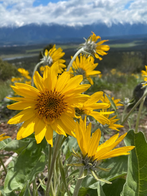 |
| This is what you'll see on Sunflower Hill in May! |
SW Passage Viewpoint - Kimberley Nature Park
You can access this viewpoint as an extension from Sunflower Hill or by just hiking up the Jimmy Russell Trail. Jimmy Russel is part of the Great Trail and is a wide double track gravel road. It climbs 200 metres over 3 km.
To access the viewpoint, turn off the Jimmy Russell Trail when you reach the SW Passage junction. From there it's a short climb to reach the beautiful viewpoint with a bench. It's my favourite spot in the nature park.
To create a loop, return on the Sunflower Hill trail.
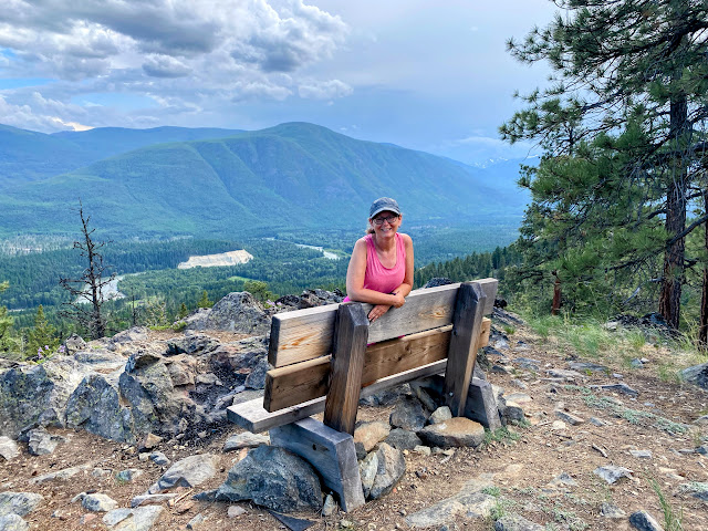 |
| SW Passage Viewpoint |
Myrtle Mountain - Kimberley Nature Park
Hikers looking for a longer day hike will enjoy this outing. My husband and I hiked/ran the trail one afternoon and it was a great adventure from The Kimberley Riverside Campground.
From the campground, drive or walk to the trailhead across the road and start hiking up the Jimmy Russel Trail to Duck Pond. From the Duck Pond Trail you'll take Skid Row to SW Passage (where you can visit the SW Passage Lookout.) Continue climbing the SW Passage trail until you come to the final junction for Myrtle Mountain (Mountain Mine.)
The round trip distance is ~ 7 km and it took us about 2.5 hours at a fast pace, visiting both SW Passage and Myrtle Mountain. A loop can be made with Sunflower Hill as well.
This trail can be biked as well if you're strong at climbing and comfortable with rooty/rocky terrain. My boys did a traverse from town via Army Road and the full Mountain Mine Climb. They then descended SW Passage to return to camp.
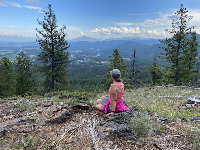 |
| Myrtle Mt. is the best viewpoint in the Nature Park |
Bear Hill Lookout - Kimberley Nature Park
This is a great hike if you have a high clearance vehicle (or are comfortable with rough logging roads.) From the St. Mary Lake Road (further up from the Sunflower Hill trailhead) you'll turn right onto the Matthew Creek Road. The road is rough, but doable for most vehicles with careful driving.
The Matthew Creek Road takes you to the Horse barn Trailhead. From here, follow either the Talus Trail or the Summer Trail to Bullfrog Hill. From there, it's a short easy climb up to the lookout. The full hike with a loop on the Talus and Sumer Trails is 4 kilometres (at most.)
And if you have bear spray, this is a good trail to bring it on because you'll be extremely remote. Chances are you won't meet another soul up here and it's always eerily quiet (just lots of croaking frogs.)
 |
| Bear Hill Lookout |
You can also detour to Dipper Lake to look for frogs in the small lake.
I love this hike for the various ecosystems that it contains. In a one-hour walk you'll hike through an old growth cedar forest with lush ferns bordering the trail, into alpine terrain where glacier lilies, larch trees, and other mountain flowers surrounding you, and then end up at a pond with deciduous trees where you're greeted by the sound of croaking frogs. - All in the same easy one-hour walk!
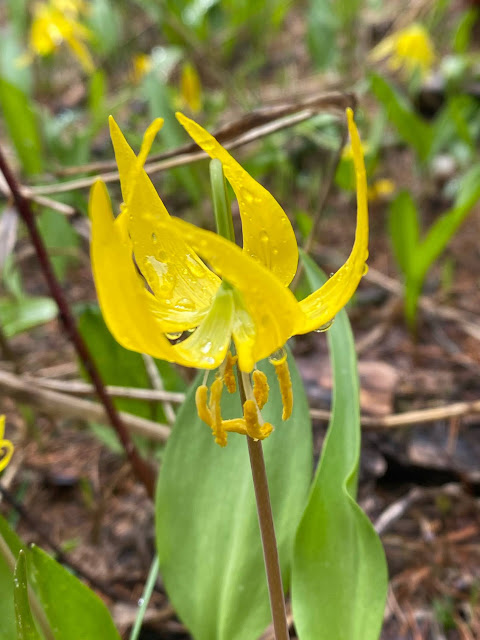 |
| Glacier lilies bloom here in mid May! |
I didn't even know it was possible to see glacier lilies, larch trees, frogs, cedar trees, and ferns in the same hike. They definitely don't share the same habitat.
Note this is the only trailhead in the park where you have to drive up a rough road. All other trailheads for the Kimberley Nature Park are located adjacent to main paved roads.
 |
| One of my favourite hiking trails in the Kimberley Nature Park |
Discover other trails on the Tourism Kimberley website.
I also recommend stopping in at the visitor centre where you can grab paper maps if you aren't a fan of apps.
 |
| An easy mountain to "climb" |
Hiking around Marysville and Wycliffe
There are two hikes that we like in this area and both are a short drive from Kimberley heading south towards Cranbrook.
Marysville Falls Hike
This trailhead is very close to the Kimberley Riverside Campground and it's a great evening hike to see a beautiful waterfall and several smaller cascades on Mark Creek. The trail is only 0.5 km round trip and easy for young children. You can reach Marysville Falls in 10 minutes. This is also a great hike if it's raining and you're looking for something fun to do.
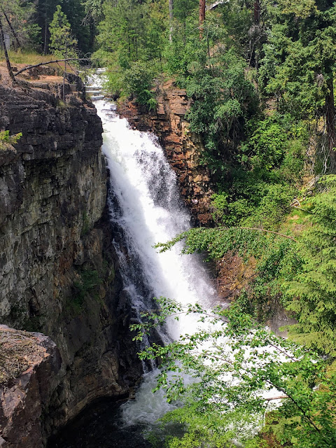 |
| Marysville Falls |
Wycliffe Buttes Hike
This hike is especially beautiful in mid May when the Balsamroot sunflowers are in bloom, but the viewpoint at the top of the butte is always beautiful. There are a couple of benches when you reach the top of the butte along with a couple of very photogenic trees!
The link above shows the loop route that we always take following the All Trails app. The loop is 4 km with 160 metres of very gradual climbing.
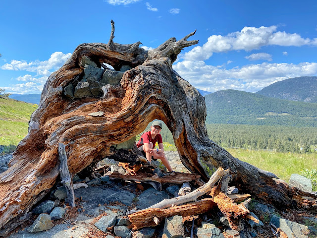 |
| Funky old trees on top of the Wycliffe Buttes Trail |
You can also read more about the trail on the Tourism Cranbrook website where two different routes are described. Both routes go to the top of the Butte. The loop is more gradual though and the trail circles around the back of the lookout rather than climbing straight up the front side.
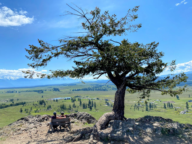 |
| The Wycliffe Buttes Trail is a family favourite of ours near Kimberley |
Hikers looking for a longer outing can also continue from the Wycliff Butte to reach a second butte, Lone Pine hill. We did a loop, hiking to Wycliffe Butte first, continuing on to the second butte, and then returning straight along the fence line past the first butte. The loop was ~ 8.5 to 10 km long and took us a couple of hours. It's generally easy hiking.
The trail to the second butte is easy to follow but I would recommend downloading the All Trails route to make sure you stay on trail.
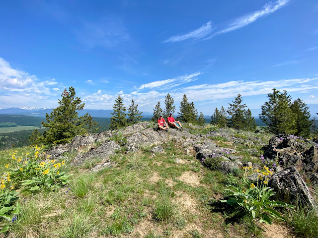 |
| Lone Pine Hill, a second butte to visit beyond Wycliffe Butte |
Hiking around Cranbrook
Cranbrook is a short 20 minute drive south from the Kimberley Riverside Campground so we always spend a lot of time hiking and biking here.
My favourite hike here so far takes you to the top of Eager Lookout, a former fire lookout site.
Technically the Eager Lookout trail is a multi-use biking/hiking trail but I can't imagine biking it. I think it's a much nicer hike. You'll follow a wide double track old road/route to the top of a beautiful viewpoint with benches. The hike is less than 3 km round trip with only 130 metres of climbing.
This is another pretty one in spring when the sunflowers are in bloom.
 |
Eager Lookout is sunflower heaven in May!
|
 |
| Wildflowers are the highlight of this hike in spring |
The
Cranbrook Community Forest has over 100 kilometres of trails to explore. Visit the website to view maps, suggested loops, and routes.
We usually bike around the Community Forest, but the 7 km
South Lake Loop would be a lovely walk on relatively flat wide trails.
 |
| Arnicas in bloom in the Community Forest in late May |
Biking around Kimberley
Biking The North Star Rails 2 Trails from Kimberley to Cranbrook
The
North Star Rails to Trails path is a converted railway trail, 25 km in length, and completely paved. Start in Kimberley and it is all downhill to Marysville. From here there is a wee bit of uphill but it is mostly flat to Wycliffe. From Wycliffe, you will descend and then climb back up from the St. Mary River Bridge. Once you finish the climb back up, it is relatively flat again until you reach Cranbrook.
There is very little shade on this trail so bring lots of water or else bike it on a cooler day. Starting early is also a good idea before it gets too hot.
We like to ride this trail one-way, setting up a shuttle with friends (leaving a second vehicle in Cranbrook.)
When we last rode this trail, my husband parked in Cranbrook and then biked back up the trail to meet us. This meant that he didn't get to ride the whole trail with us but at least we had our truck at the end.
 |
| Biking on the North Star Rails to Trails Path |
Mountain Biking at the Kimberley Nordic Centre
Drive up past the ski hill to the
Nordic Centre and you'll find a gigantic network of trails that connect to the Kimberley Nature Park.
We have ridden the following trails:
Beginner friendly and perfect for novice mountain bikers wanting a gentle introduction to the trails around Kimberley. The loop is 1.9 km and gains/loses roughly 85 metres of height.
There are a couple of hills to climb that could be walked by young children or beginner riders, but I love the flowy ending to the ride as you descend back down to the trailhead (clockwise direction.)
This is one of the smoother trails you'll find at the Nordic Centre or in the Nature Park so I highly recommend testing the kids out here before progressing to harder trails.
 |
Mountain biking at the Kimberley Nordic Centre
|
Magic Line -
Kimberley Nordic Centre mountain biking
An intermediate loop, 6.6 km in distance, with 376 metres of climbing. It is ridden clockwise and you'll climb to three viewpoints along the ride (each one bigger than the one before.)
Note this loop is a your typical "old school" mountain bike trail (rocks and roots) so don't expect anything machine packed or smooth. My boys found it to be unpleasantly rocky with a lot of punchy climbing, so it wasn't their favourite. I myself bailed after the first viewpoint and headed to Happy Hans.
 |
Enjoying one of the viewpoints at the Kimberley Nordic Centre on "Magic Line"
|
This is one of the new adaptive trails that have been recently built at the Nordic Centre. They are slightly wider and smoother to accommodate adaptive mountain bikes for riders with disabilities. They are however enjoyable for all cyclists and great for novice mountain bikers who may want the wider/smoother trail.
And don't get turned off by the word "adaptive." These are still mountain bike trails. The Nordic Centre even has intermediate level adaptive trails. The only difference from your average singletrack trail is that you get to enjoy a slightly wider trail and a smoother ride.
Electric Avenue is rated as "easy," there are no rocks or roots, and the grade is definitely gentle. Unfortunately the trail is only 1.8 km long so you'll need to add on to make your ride longer.
We rode the trail in the downhill direction from the Nordic Centre, and I'd describe it as a smooth flowy downhill pump track! It is seriously the most fun you'll have in Kimberley on a bike with endless rollers. And while it is technically a bi-directional trail, it's definitely more fun ridden downhill from the Nordic Centre. - Just keep your speed in check and give priority to uphill riders when passing.
Suggested extension:
This trail starts at the Nordic Centre and ends in the Kimberley Nature Park. Then you have to either create a loop to get back to your car (climbing most of the way back,) or you need to set up a vehicle shuttle.
If you want to send children and an adult on a downhill adventure, I'd recommend Electric Avenue - Upper Army Road - Lower Army Road - Eimer's Road, ending at the Higgins Street trailhead in town. This makes for a phenomenal (easy) gentle downhill ride where you'll lose approximately 200 metres of height (with no climbing.) And then the second adult would pick the rest of the group up at Higgins Street. It'll take an hour to an hour and a half at most which is perfect for a short evening ride.
 |
| Electric Avenue is as smooth and flowy as it gets! |
Levirs is another easy adaptive trail, very flowy, and a ton of fun in the downhill direction.
Start at the Nordic Centre, ride Electric Avenue to Trickledown, and then you'll take Levirs in a Dangerous Time, ending at the Swan Street Trailhead in town. This is a phenomenal flowy downhill ride with a distance of 4.5 km (again perfect for an evening.)
Note though that Trickledown is rated "intermediate" and would be challenging for novice riders. I had to walk large sections of it. Levirs in a Dangerous Time though is rated as a beginner trail and is only slightly harder than Electric Avenue with a few berm corners.
 |
| Levirs in a Dangerous Time is a very fun flowy trail |
Other Great Adaptive Trails at the Nordic Centre:
Several other adaptive trails have been added at the Nordic Centre as well including Nuts and Volts (beginner,) and the following (all intermediate:) Amps Go Marching, Ohm My, and John Travoltage.
These trails will all be smoother and better for the novice rider. On my last visit I created a fun little loop of Happy Hans - Nuts and Volts - John Travoltage - Mussers - Roy's Cut - Magic Line Connector - and back on Nuts and Volts / Happy Hans. Then we dropped down Electric Avenue finishing in the Nature Park with my husband picking us up at the bottom of Levirs.
I thoroughly enjoyed the loop above. I had to walk a few hills, but overall I rode more than I walked.
 |
| John Travoltage is a brilliant trail with great flow! |
 |
| John Travoltage! 😂 |
I recommend
checking out the Trail Forks map to see all trails at the Nordic Centre. You can also connect the Nordic Centre to the Nature Park, traversing to the far end at Sunflower Hill for a splendid cross country ride with a car shuttle (or convince a family member to pick you up on the far end.)
 |
| Myrtle Mountain after traversing the Nature Park from the Nordic Centre |
Mountain Biking in the Kimberley Nature Park
We found the trails in the Nature Park to be quite rocky and challenging, but families will enjoy the two traverses below that we have completed. I've also included one technical route my boys have enjoyed.
Check out the map of the area on Trail Forks to see the trails below and how everything connects.
SW Passage Bike Traverse from the Kimberley Nordic Centre
Start from the Nordic Centre on the Spruce Trail, a multi-use double track trail that's part of the lit loop for cross-country skiing in winter. (Starting at the Nordic Centre allows you to start high for less height gain when traversing into the Nature Park.)
From Spruce, follow a few singletrack cross-country ski trails, open to multi-use traffic in summer. You'll ride the following three trails: Horse Trail, Roy's Cut, and Mussers. These trails take you to the boundary with the Nature Park.
Once officially in the Nature Park, descend Higgins Hill, a short connector trail that novice riders will have to walk due to the rocky descent. And all this, to finally reach the Army Road, part of the TransCanada Trail (or the Great Trail as it's now called.)
 |
Easy scenic riding on the Army Road in the Nature Park
|
The Army Road is a beautiful double track trail that traverses through the entire Nature Park. It is great for families or beginner mountain bikers. You'll ride through a beautiful lush forest and feel miles from civilization.
You can also get on the Army Road lower down in the City of Kimberley at the Swan Street Trailhead where you start on the Lower Army Road. We just like starting higher up to avoid extra climbing.
Follow the Army Road to Jimmy Russell, another section of the Great Trail, and also a wide double track trail that's great for novice riders. From here, hop on the SW Passage Trail, which is often our objective for a ride or hike in the park.
 |
Our objective for the ride: The SW Passage Viewpoint
|
The SW Passage Trail only climbs 45 metres but I personally find it too steep to ride. Either bring a bike lock and continue on foot (lots of trees to lock a bike to) or push your bike up the trail. After this, you'll have to either ride or hike up the short SW Passage Viewpoint Trail to reach a fabulous lookout. Apparently this trail only climbs another 13 metres, but again, it is straight up, and there's no way any of us in my family can climb it. (Though my boys do ride down.)
My recommendation is to bring a bike lock and to leave the bikes at the junction of Jimmy Russell and the SW Passage Trail. Continue on foot for the final 500 metres of distance. (It is a long ways to push one's bike!)
From the top of the viewpoint, walk or ride back down to Jimmy Russell and continue all the way down to the bottom, ending across the road from the Kimberley Riverside Campground. My husband always rides back across the park for the truck (usually leaving us at the top of Jimmy Russel to avoid the final descent.)
 |
Riding down the SW Passage Viewpoint Trail
|
Sunflower Hill Bike Traverse from the Swan Street Trailhead Entrance in Kimberley
Most people just climb up to Sunflower Hill from the trailhead across from the Kimberley Riverside Campground and return the same way. However, if you want to see more of the Nature Park, the traverse below is a fabulous easy traverse.
Follow the Lower Army Road, a double track section of the Great Trail, from Swan Street in town until you reach the Ponderosa Trail, another double track trail but with steeper climbing. Merge back on to Lower Army Road and connect on to Eimer's Road where you can check out Eimer's Lake.
From there you'll reach the Elbow Trail, and eventually the Forest Crowne Through Road. Everything you'll ride is double track easy riding and you'll traverse much of the nature park without any technical riding.
Sunflower Hill is the objective for the ride and it is a beautiful ridge to ride across. Then the ride down to the campground is a lot of fun as well.
 |
Scenic riding along the ridge on Sunflower Hill
|
However you reach Sunflower Hill, it is a viewpoint I highly recommend hiking or biking to, and you'll only gain 126 metres if you decide to ride up from the campground. The grade is pretty gentle too.
 |
Riding down the Sunflower Hill Trail in the Nature Park
|
Thunder Turkey / Shapeshifter Descent from the Horse Barn Trailhead
My boys love this descent from the Horse barn Trailhead in the Nature Park. It's a rocky technical cross-country descent as you ride down Upper Thunder Turkey, Shapeshifter, and Hoodoo View, arriving at the Sunflower Hill Trailhead across from the Kimberley Riverside Campground.
I always shuttle them (as long as they do a hike at the top with me first to the Bear Hill Lookout) but with an e-bike you could easily ride to the top using Jimmy Russel and Front Boulevard.
 |
| Biking around the Kimberley Nature Park |
The Kimberley Bike Park and the Mark Creek Trail
My son has always loved the Kimberley bike park with its progressive jump lines. As of 2025, the entire park has been reconstructed to have better, more well maintained and official jump lines along with the addition of an asphalt pump track.
If you want to go for a trail ride after playing at the bike park, you can try the
Mark Creek Trail (also known as the Lion's Way.) This is a beginner-friendly single track trail great for a short family ride. It is 3.7 km one way or you can ride it one way to Marysville and send an adult back for the vehicle.
Alternately, start in Marysville, ride to the bike park to play, and then ride back.
 |
| Kimberley Bike Park pump track |
 |
| The newly redesigned Kimberley Bike Park |
Downhill Mountain Biking at Bootleg Mountain (St. Mary Lake Road, Kimberley)
Bootleg Mountain is located just up the road from the Kimberley Riverside Campground and the Kimberley Nature Park. My husband and son love the intermediate downhill trails on Bootleg, and the shuttle road is one of the most comfortable I've driven.
You'll want to take turns riding as adults so that you can do truck drops with the kids (driving up to the top, letting out the riders, and then driving down to the bottom to pick them up.)
As of 2026 there is a brand new beginner trail called
Spicy Kitty. This will be the starting point for kids who are new to downhill mountain biking.
For most confident riders though, I recommend moving on to NIMBY below.
Starting off on
NIMBY: NIMBY is the easiest trail here and you'll want to start on this one before you progress to anything harder. NIMBY loses 119 metres of height and is an amazing downhill flow trail.
"Kimberley's newest machine built trail is a 1.5km downhill/ flow/ jump trail. This trail can be ridden by all riders and has nice smooth dirt with very few rocks. The 44 features include tons of table tops and a gap jump over a big fallen tree, as well as one over a rock garden. Every big feature has an easier alternate line. This trail has 40 berms from top to bottom with the biggest ones being 6+ ft high." - Trail Forks
 |
Kimberley's premier downhill trails at Bootleg Mountain
|
Progressing to
Purple People Pleaser: PPP is the next trail you'll want to try as long as you have somebody willing to drive further up the mountain. Personally I've seen worse shuttle roads and don't find this one too bad. I am always very happy though that I drive a truck with high clearance.
PPP descends 225 metres of distance over 1.7 km.
"Built as an option for riders who want to progress a bit higher and more advanced than Nimby (Miss Demeanour). This new trail is fast and fluid with giant berms and terrific tabletops for intermediate riders." - Trail Forks
Safe to say, if you don't like berms or tabletops, you'll want to give Bootleg a pass. (I am content to be the shuttle driver for these rides.)
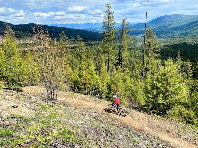 |
| Starting off on the beginning of PPP, high up on Bootleg Mountain |
Progressing to the Bootleg Black Trails:
Once you've mastered NIMBY and PPP, the next step would be
White Lightning, the easiest black trail on the mountain. It's a giant machine groomed jump line with huge table tops. The only challenge is accessing the trail once you're ready to ride it. You either have to descend Snow White (Extremely step and technical) or you take the White Lightning climb trail from the top of NIMBY.
Take the climb trail! Seriously, it's a double track gravel road, it only climbs 100 metres, AND we have discovered there is no gate preventing you from driving it. There's even a good turn around loop at the top. So yeah, we drive the climb trail. I don't know if you're supposed to, but again, there is no gate and no signage against driving it. Worst case scenario, it would be a 20 minute ride up at most, and well worth it. My boys LOVE this trail.
My boys would also recommend the lower section of
Pinch and Roll which starts at the top of NIMBY. It's nice and short and provides an optional ending to either PPP or White Lightning if you've advanced beyond NIMBY.
 |
| Starting off on the first wooden feature on Pinch and Roll |
Biking on the Cranbrook Trail Network
We've only just begun to scratch the surface of biking around Cranbrook to the south of Kimberley.
Below are my personal recommendations for the area:
From the Isadore Canyon Trailhead, follow the wide gravel rail trail out of town heading towards Highway 393. The trail climbs very gradually and then begins its descent, losing 92 metres of height in a lovely beginner-friendly outing.
I recommend sending a second adult to the Ramparts Rest Area to meet you. My husband parks here and then starts biking back to meet us. For a lovely loop, exit the Chief Isadore Trail on the
Rampart Prairie Connector Trail - and make sure you take the second junction for the connector trail as it's much more gradual. The connector trail is an easy singletrack trail that finishes with a lovely ride across a meadow before reaching the Ramparts Rest Area.
The ride from town to the rest area is 12 km in total, most of it all flat or very gradual downhill.
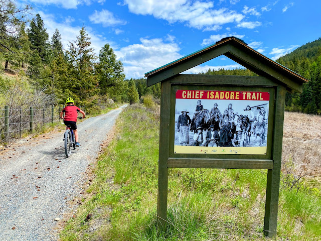 |
| Easy family-friendly biking on the Chief Isadore Trail |
This trail starts from the same trailhead as the Chief Isadore Trail and is one of my top fav. trails I've ridden in BC.
"This is an easy beginner trail that is 1.2 metres wide that climbs at 3 - 5 % from the Chief Isadore Trail to the Kettle Lake parking lot. The lower part of the trail can also be linked with
Elephant Run to make a nice 3.8 km beginner loop.
This makes for a great first ever downhill run. This trail is also a part of the Cranbrook Great Trail Loop" - Trail Forks
Climb Pilsit to Kettle Lake and you'll discover that this is the one of the easiest climbing trails you'll ever find. And it is a blast to come back down on with it's great flow and mellow grade. We also enjoy Elephant Run with its baby berms - perfect for novice riders.
 |
| Pilsit is a fabulous flowy beginner mountain bike trail |
There are several green beginner trails that traverse the community forest allowing for fun loops and exploring.
One of my favourite traverses starts from the Upper Baker Road Trailhead where you ride Fenceline to Kettle Lake. From here you can ride down Pilsit to the Chief Isadore Rail Trail. My son and I continue on to the Rampart Rest Area while my husband bikes back for the truck, and picks us up at the end. It is a fabulous 19 km traverse!!
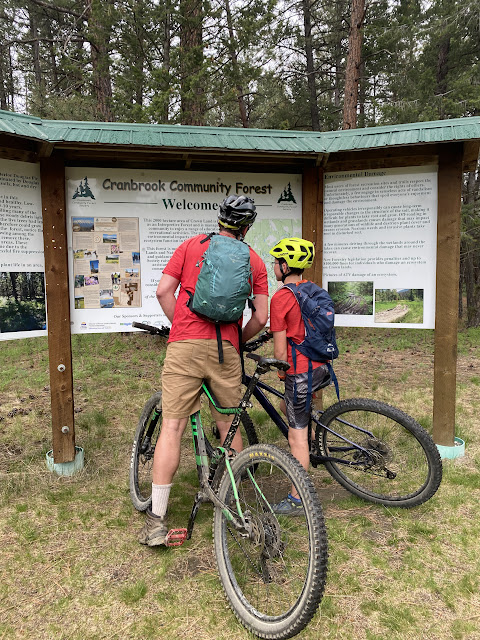 |
| Biking through the Cranbrook Community Forest |
On our most recent visit, we started from the Cranbrook Community College (COTR trailhead) where there is a fun bike park with practice flow trails. From here you can take the Gateway Trail to reach Sylvan Lake. - Another fabulous climbing trail where you won't even break a sweat.
From Sylvan Lake we took a tour of the green trails: Mistletoe - Meander - Juniper Lane. They are all pleasant beginner friendly trails, nice and wide, and beautifully smooth! Mistletoe in particular was absolutely lovely.
Back at Sylvan Lake, we decided to take the Sylvan Lake FSR, a wide gravel road, to reach Kettle Lake. Next time, I'd take the Fenceline Trail.
 |
| How's this for a lovely bike loop! (Mistletoe trail shown) |
However you loop the community forest, aim to end up at Kettle Lake where you're at the top of Pilsit and ready to descend to the bottom. Either continue as described in my previous route on the rail trail with somebody picking you up at the Rampart Rest Area, or bike back to the COTR trailhead using the Rotary Way town trail and connecting streets.
Alternately, if you have riders of split abilities, send the beginners down Pilsit and the more intermediate riders down Rollercoaster which ends at the COTR trailhead. Then they can pick up the others at the bottom of Pilsit.
 |
| Practicing my baby berms on Pilsit |
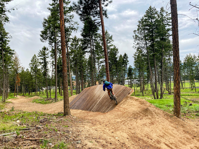 |
| College of the Rockies bike park and flow trails |
 |
| Easy biking across the Cranbrook Community Forest |
This 4 km loop trail is located on the other side of the highway from the Isadore Canyon Trailhead and it is another great beginner-friendly mountain bike trail.
It is an adaptive trail designed for cyclists with disabilities using adaptive mountain bikes, and as a result, is smooth and slightly wider than the average singletrack trail with a width of 1.8 metres.
It is a beginner trail in that the grade is very gentle, but it's also a great introduction to climbing with many hills along the loop. The climbing is worth it though for the fun flowy ending as you ride counter clockwise.
 |
| Riding the Padawan Mountain Bike Trail in Cranbrook |
This is a new adaptive trail in Cranbrook and it builds on the Padawan Trail above. You'll start on Padawan before coming to a junction with Pod Racer, also a beginner trail.
This loop is double the length of Padawan, so make sure your kids can handle Padawan before trying Pod Racer. The full length with Padawan at the beginning and end, is 8 km, and once you get on Pod Racer, there are no other junctions for an escape route - so you're committed to finishing the one-way loop.
 |
| Beginner friendly mountain biking on Pod Racer |
And while this loop is rated "beginner," there is a lot of climbing on it! It's definitely a cardio workout and novice climbers will need to take lots of breaks. Fortunately the hills are all gentle and there are no punchy climbs.
I personally love this loop and find it to be very fast and flowy! The descents are extremely fun, and because of the wider trail width, novice riders will feel more comfortable learning to climb and descend hills on this kind of trail.
 |
| I love this sign - and it's very true for a novice rider! |
This is another one of the many Star Wars themed trails here and starts from the same trailhead as Padawan and Pod Racer.
It's rated intermediate and is much rockier than the other two previous trails with steeper hills and a narrower trail width.
My son wasn't very fond of the trail as he said it felt uphill most of the time. While they rode this trail, I hiked up the
Eager Lookout Trail to a beautiful viewpoint (so there are options here for both hiking + biking.)
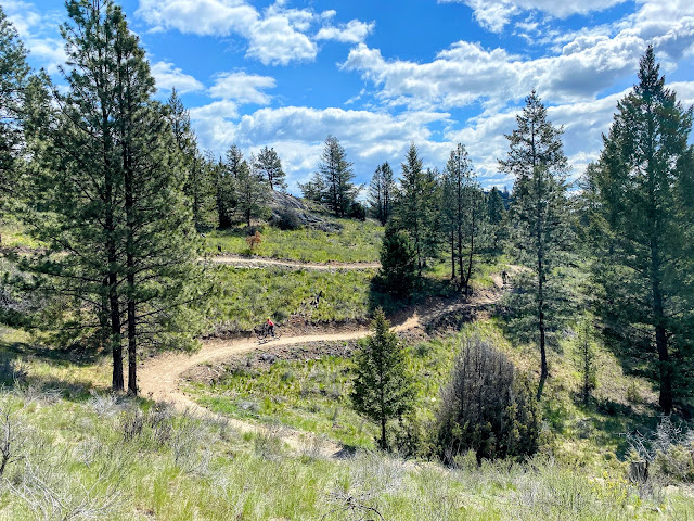 |
| Padawan is a great mountain bike trail for novice riders (and you get to ride down this hill!) |
Lake Fun and Paddling around Kimberley
1. St Mary's Lake
St Mary's Lake is the closest option and is just up the road from the Kimberley Riverside Campground. It is a large lake and a beautiful destination for paddling on a calm day. Watch the wind before you head out too far into the middle of the lake.
There are lakeside picnic sites as well, but the beach area is rocky and there is no sand. The water is also pretty chilly so this is not really a "swimming lake."
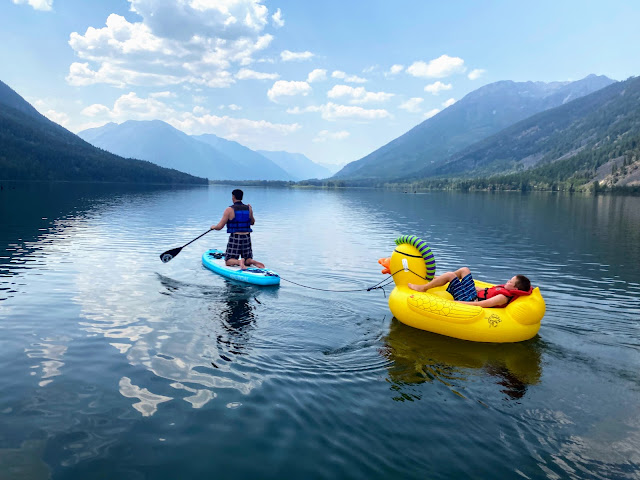 |
| St Mary's Lake is a beautiful spot for paddling near Kimberley |
2. Wasa Lake
For an awesome day trip, head north to Wasa Lake where you'll find a beautiful sandy beach and warm water for swimming. The lake is 45 minutes to the north so pack a lunch and plan to spend the day here. The lake also allows motor boats for tubing and other water sports.
Take a good shower after swimming here because swimmer's itch can be a problem.
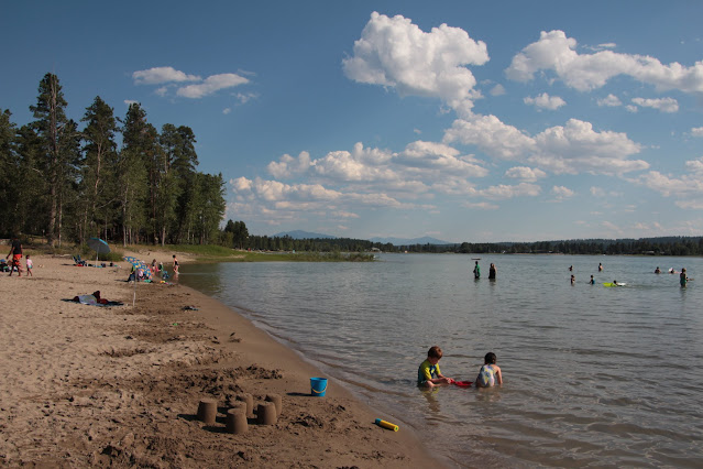 |
| Family-friendly Wasa Lake |
3. Lazy Lake
And near Wasa Lake, a visit to Lazy Lake will get your heart pumping! This incredible lake has cliff jumping, an amazing rope swing, and is a great place to paddle around with no loud motor boats. There is also a healthy painted turtle population.
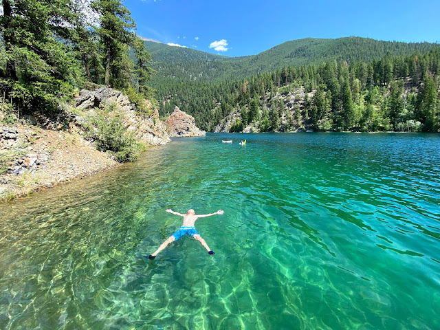 |
| Lazy Lake is one of our favourite day trips from Kimberley |
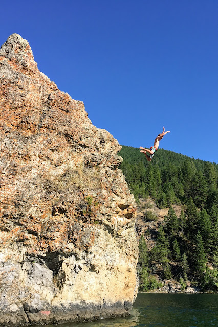 |
| Cliff jumping at Lazy Lake |
There's also a small FCFS campground here (see the link above for more information) or you can camp at nearby Wasa Lake which takes reservations.
 |
| Turtle Rock is a fun paddle stop in the middle of the lake |
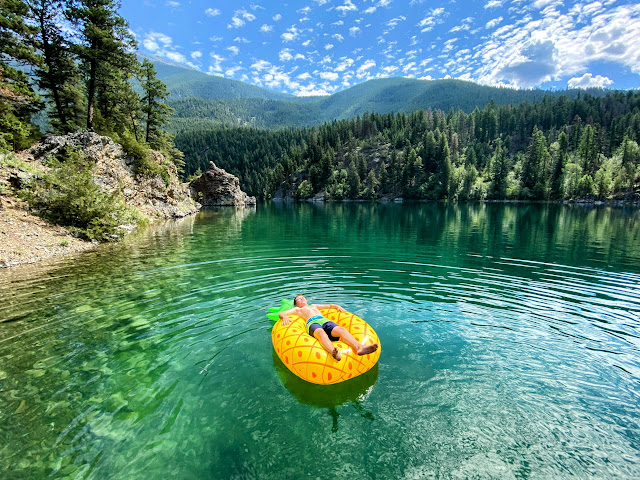 |
| Lazy Lake is our fav. lake near Kimberley |
Note for Lazy Lake:
- You'll need paddleboards, kayaks, or a canoe to move around the lake between the rope swing (opposite side of the lake from the day use area) and the cliff jumping (which is near the day use parking lot.) Only small motorized fishing boats are allowed for power boats.
- There is also no beach here, so this is purely a paddling/ destination.
- There is no picnic area so don't plan to show up with the entire extended family. There are no picnic tables, there is one pit toilet in the parking lot, and there is no area to set up a picnic or have a BBQ. There is a small fishing dock and then a small rocky beach area near the day use parking lot (intended for launching boats.)
- Please park in the day use area and leave the campground on the other side of the lake for registered guests.
- There is a path leading down to the water from the day use parking lot, but be prepared to hike your gear/boats down to the lake. It's only ~200 metres or so down to the lake, but be prepared to take a few trips if you have kayaks or a canoe.
- This is a quiet, peaceful lake. Locals would appreciate your cooperation with this. So leave the bluetooth speaker behind.
 |
| Rope swing at Lazy Lake |
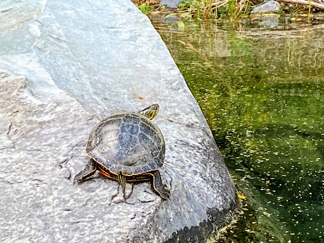 |
| Lazy Lake has a healthy painted turtle population |
4. Peckham's Lake in Norbury Provincial Park
We recently visited Norbury Provincial Park near Fort Steele and discovered a great gem for swimming, paddling, and fishing. There is a small rocky beach area, a fishing dock, and grassy areas where you can set up a picnic blanket. The water is also deep enough at the end of the dock for jumping off (always fun for the kids.)
Power boats are prohibited so this is a peaceful lake.
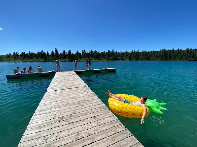 |
| Peckham's Lake in Norbury Provincial Park |
There was one picnic table I believe, and the day use area was relatively small, so I would choose a different lake if you wanted a picnic with a larger group.
There is also a campground here and reservations can be made in advance.
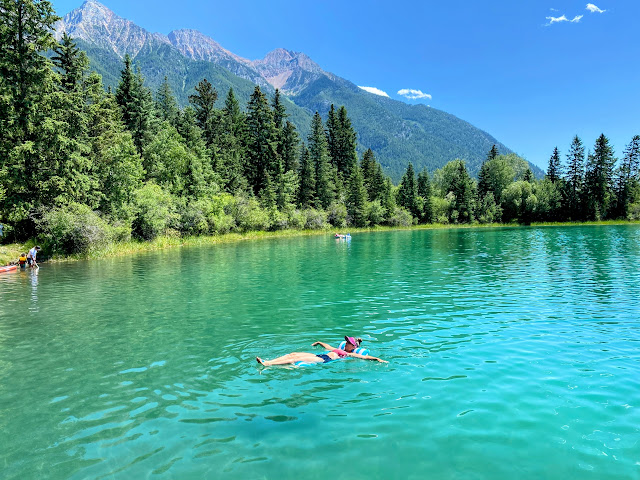 |
| Peckham's Lake is chilly but good for a hot day! |
5. JimSmith Lake
JimSmith Lake is located just outside Cranbrook and the day use area has been recently renovated with a beautiful sandy beach and new playground. This lake is great for swimming, fishing, and paddling. Bonus, there are no motor boats on this lake so it's a serene place to kayak or stand up paddle.
There is also a campground in the provincial park and reservations can be made in advance.
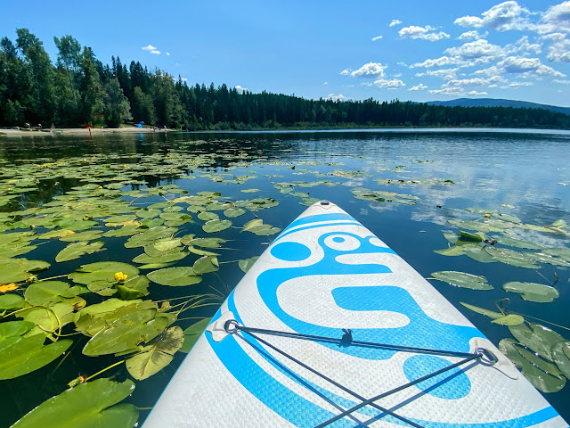 |
| Peaceful paddling on JimSmith Lake |
6. Moyie Lake
Moyie Lake is a large lake south of Cranbrook where motor boats and related water sports are permitted. Don't expect a serene paddling experience as a result, and the lake can get very wavy when it's windy.
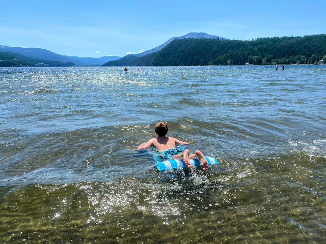 |
| Playing in the waves on Moyie Lake |
We loved the sandy beach in the provincial park, and swimming in the waves was very fun. Overall, it's a beautiful lake and the day use area is huge for an extended family gathering or large group picnic. There is also an ice-cream/slushie truck on site.
There is also a great campground here, and reservations can be made in advance.
 |
| Moyie Lake has a large sandy beach |
7. Lake KoocanusaThe Lake Koocanusa Waterpark is an hour and a half away, but it was one of our favourite trips from Kimberley. I wouldn't make the trip if we were just camping for a couple of nights, but if you're in Kimberley for a week, it's a great destination for a day on the water.
 |
| The Lake Koocanusa Water Park at the Sunshine Marina |
 |
| This inflatable waterpark will be your child's fav. highlight from their vacation |
Reservations can be made in advance online, and adults are welcome to sit on the dock to watch without paying. We like to book the first time slot of the day which is a bit cheaper because the play time is only an hour and a half. The other time slots allow for 2.5 hours of playing. - personally, 1.5 hours is plenty and you'll be exhausted after that time anyway. And it's always quieter first thing in the morning.
If you are here over lunch, there is a great restaurant on site.
 |
| Now THIS is a day at the beach! |
And a warning if you don't like long drives from camp, don't show your kids the photos of this park. And be careful of taking them as a "one time treat" because they will want to go every single year!
This is my son's number one thing he has to do from Kimberley every summer.
 |
| The slides are HUGE! |
The Tourism Cranbrook website has other suggestions for lakes in the area for boating, fishing, beach fun, and paddling.
 |
| You could spend a week exploring the lakes around Kimberley! (Photo: Lazy Lake) |
Dining, Coffee shops, and Restaurants in Kimberley
I have to confess that we haven't eaten out a lot in Kimberley but we do have a few favourite spots we like to visit.
For casual (but super delicious food) we always go to the Pedal and Tap Restaurant in the Platzl downtown. I highly recommend the Mucked up fries and the spaghetti balls. Order the burgers if you have a big appetite (and an even bigger mouth - seriously they're ginormous!)
We also like the Shed for good Mexican food. And when we last visited, taco platters were half price Sunday nights. They had a great beer collection too.
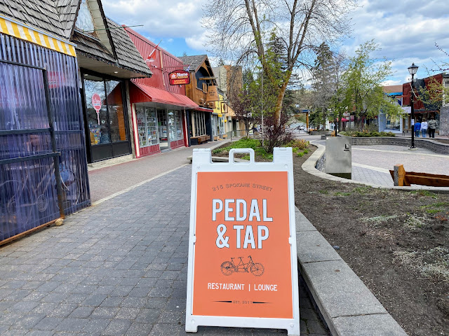 |
| The Platzl downtown is a great place to find food, coffee, and to go for a stroll |
For fine dining, it has to be the Old Bauernhaus Restaurant, an authentic Bavarian restaurant housed in an authentic German barn which was dismantled and shipped to Canada.
For a good cup of coffee, we always head to the Bean Tree Café in the Platzl downtown. (and make sure you try their homemade granola bars!!)
For a full list of options here, please visit the Tourism Kimberley website.
 |
| The chicken burger and mucky fries from the Pedal and Tap |
And if you're in Cranbrook, we discovered an amazing gem on a recent trip when we had a rainy afternoon to occupy.
Encore Brewing is the place to go with a family.
At Encore Brewing you'll find a bowling alley, brewery where you can order flights to sample several different kinds of beer, a restaurant serving incredible (and very affordable pizza,) and a large collection of board games (perfect for a rainy afternoon.)
We started at the bowling alley and then moved into the restaurant for pizza + beer and thoroughly enjoyed a few hours at Encore.
The establishment is family-friendly until 9pm every day. (Minors must be accompanied by an adult.)
 |
| Encore Pizza + and Brewing Company in Cranbrook |
Other Fun activities around Kimberley
Below are a few other suggestions to keep the kids occupied.
Swimming in the Flume, downtown Kimberley - The Mark Creek Flume is a great place to cool off on hot days in Kimberley.
Note the water would be over the head of most children so bring life jackets if your kids can't swim and watch them carefully.
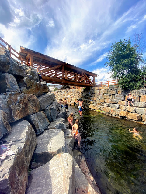 |
| Kimberley's "outdoor swimming pool" |
Tourism Kimberley has more suggestions for family fun as well on their website including the underground mining railway in town, golfing, visiting the Kimberley aquatic Centre, rafting, and horseback riding.
 |
| The Marysville Falls Hike is a great family outing! |
Disclaimer: This post was not sponsored or paid for. All opinions are my own and everything in this story has been personally researched and tried by my family. All photos are my own.